Shoreline erosion management plan
View the Shoreline erosion management plan.
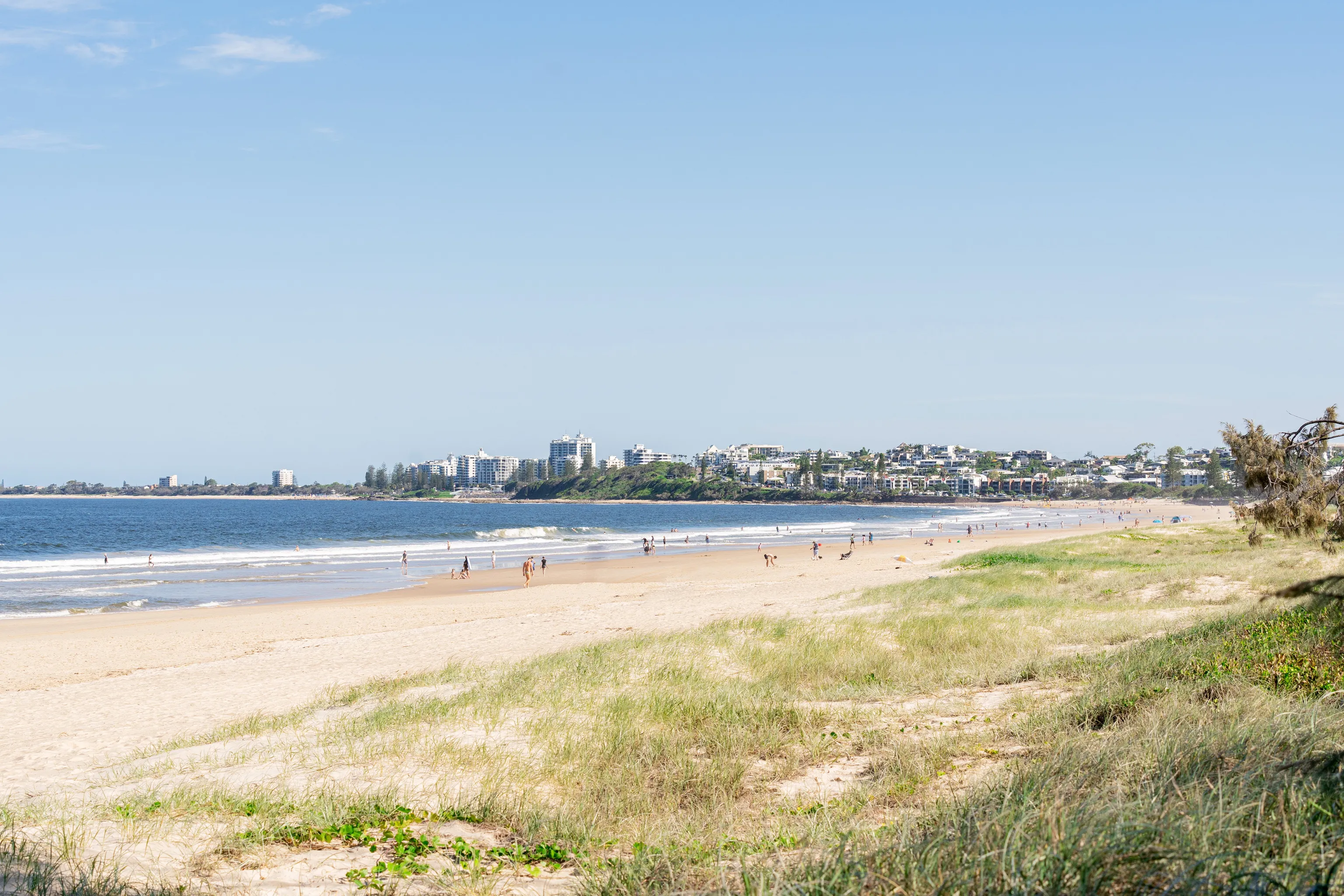
The Sunshine Coast has about 60 km of open beaches and over 70 km of estuary areas - places where rivers meet the sea. These include world-class beaches and rocky headlands that are loved by both locals and visitors. People value these areas for their natural beauty, fun activities, and cultural importance.
Council looks after most of the coastline. We work hard to keep our beaches and sand dunes healthy. Because the coast is always changing – especially from things like erosion and climate change – we have to keep updating how we manage it.
Here’s what we do to protect the coast:
- on-ground work like planting and repairing dunes
- working with the community to care for the coast
- checking coastal health through the Coastal Health Report
- planning and policies that guide all the work and that helps tie everything together.
This planning framework includes:
- a Coastal Management Policy
- a Healthy Coast Management Plan
- a Shoreline erosion management plan.
Coastal management policy (public lands)
The coastal management policy (public lands) (PDF, 243KB) guides Council’s coastal management activities on public land, including:
- capital works
- operational works
- emergency works
- development assessment
- community engagement.
The policy’s main objective is the long-term protection, sustainable use and enjoyment of coastal public lands and assets.
Shoreline erosion management plan
The Shoreline Erosion Management Plan is a 10-year plan to help protect our coastline from erosion. It explains how coastal processes work and shows which areas are most at risk from erosion now and in the future. The plan includes actions for the whole coastline, while also addressing priority erosion issues at specific places.
It outlines the best ways to manage erosion, using science, coastal engineering, and what the community values most.
Our community provided input to the Healthy Coast Management Plan as part of wider coastal planning consultation, with feedback available on the Have Your Say website
You can download parts of the plan below. Please note: these files are mostly technical documents.
Part 1 - background information
Part 1 of the Shoreline erosion management plan (PDF, 9.1MB).
Part 1 gives important background information about how erosion is managed on the Sunshine Coast. It includes:
- an overview of Council’s coastal management approach
- a look at how the coast works (coastal processes)
- a review of what’s been done since the last SEMP
- a check on sand supply needs
- a list of different ways to manage the coast
- insights from community feedback.
Part 2 - erosion management actions
Part 2 of the Shoreline erosion management plan (PDF, 9.1MB).
Part 2 outlines the actions that may be needed to protect Council-managed land and public infrastructure from erosion.
The plan uses an adaptive approach, which means it changes depending on how serious the erosion is. It starts with monitoring the coastline and using low-impact methods when possible. If erosion gets worse, the Council may use stronger erosion control measures to protect the area before it moves to larger measures.
This documents replaces the 2014-2025 Shoreline Erosion Management Plan.
Studies
These are technical background studies that have informed the Shoreline Erosion Management Plan:
- legislative framework and generic shoreline management options (PDF, 7474KB)
- coastal processes study for the Sunshine Coast (PDF, 6460KB)
- extreme wave study (PDF, 5.6MB).
Coastal hazard maps
The Department of Environment and Heritage Protection has developed coastal hazard maps that show the predicted impact of coastal hazards.
If you would like more information about coastal management, please contact council.