
oursc
Coastline rescue: works secure cliff face after landslip
Major landslip repairs and stabilisation works have been completed along a stretch of coastline severely damaged by weather events.
News

Major landslip repairs and stabilisation works have been completed along a stretch of coastline severely damaged by weather events.
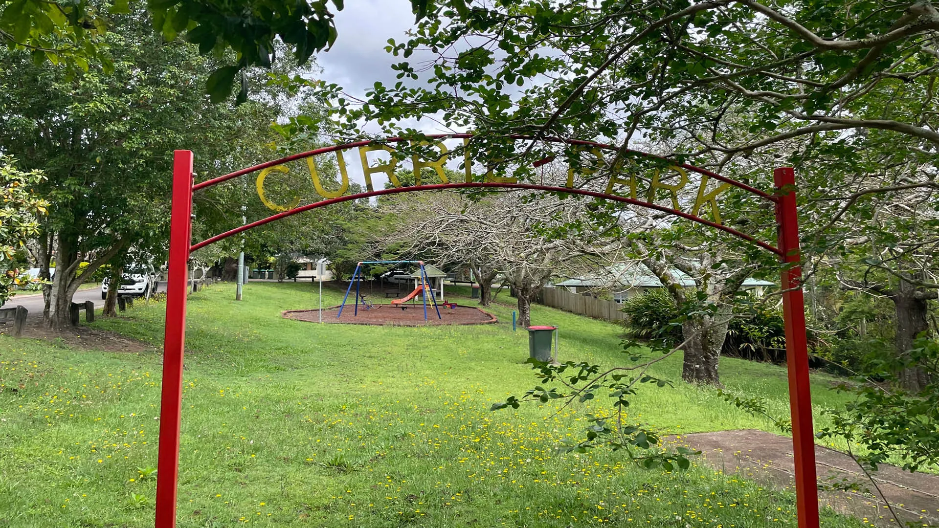
Currie Park is a small neighbourhood park on the corner of Bundarra Street and Magnolia Street in Nambour. Situated on a slight slope, the park features a naturally shaded playground, a barbecue under a shelter, picnic table and seating.
The Maroochy River rises from the eastern slopes of the Blackall Range and flows through the Eumundi area before entering the sea at Cotton Tree. The two main arms of the river are known as North and South Maroochy Rivers. The Maroochy’s tributaries include Petrie Creek with the main tributary Paynters Creek as well as the creeks of Eudlo, Coolum, Doonan and Yandina.
Sunshine Coast Council will start emergency repair works today (Wednesday, April 20) to temporarily fix the Moffat Beach seawall to ensure it’s safe for our community.
Bronwyn Edinger AM has worked across the performing arts, leading producing companies, venues and sector service organisations to create and program arts activities that are valued by their audiences and celebrated by their communities.
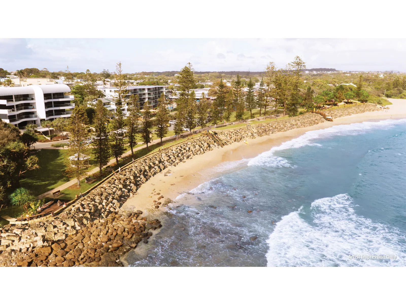
Find out more about the Moffat Beach seawall reconstruction project.
Learn more about John and Joan Dillon's journey with their property in land for wildlife.
Fred John Fink lived most of his life in Yandina where he worked as a cane cutter – but that is only a very small part of a fascinating story.

Council has repaired a section of cliff face above the beach at First Bay, Coolum which was damaged during the February and May 2022 flooding events. This repair work stabilises and strengthens the area affected by the landslip and has delivered a new path for pedestrians.
The Sunshine Coast Solar Farm took out the top gong at the National Federation Awards last night in Canberra (August 23), winning the national award for Environmental Leadership and Sustainability.
Working with our community to provide accessible places and a range of options for travelling across the Sunshine Coast.
In The Queenslander in 1907, it was noted that “in the days when the world was young and Australia was spluttering like boiling porridge with volcanoes, and shivering like a jelly with earthquakes, much was done which the present generations should be thankful for.”
Volume 2 contains the Maroochy Shire Strategic Plan. The strategic plan describes the vision for the future of the Maroochy area
Join our patrons and commit to standing against racism and displaying the campaign’s digital badge and social media resources.
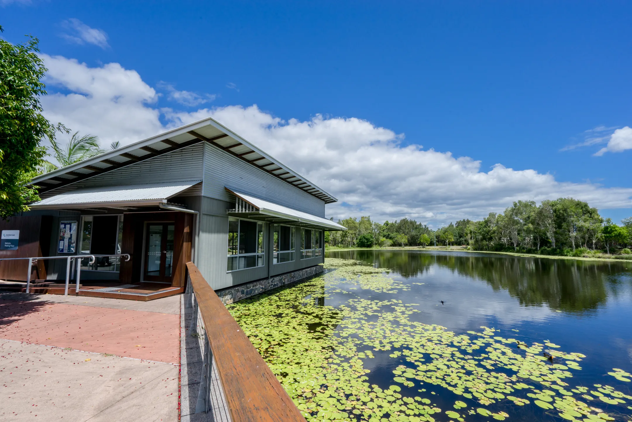
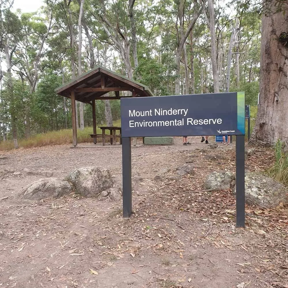
The reserve covers 150 hectares to the south, west and north of the summit. The trail is a three kilometre round trip with major upgrades to the trail and summit infrastructure undertaken in 2017. Dogs are permitted on a leash only.

Beach Access point 301. There is a single lane concrete boat ramp with 5 boat trailer car parks available and a fish cleaning station. The boat ramp and pontoon is shared by the Caloundra Coast Guard.
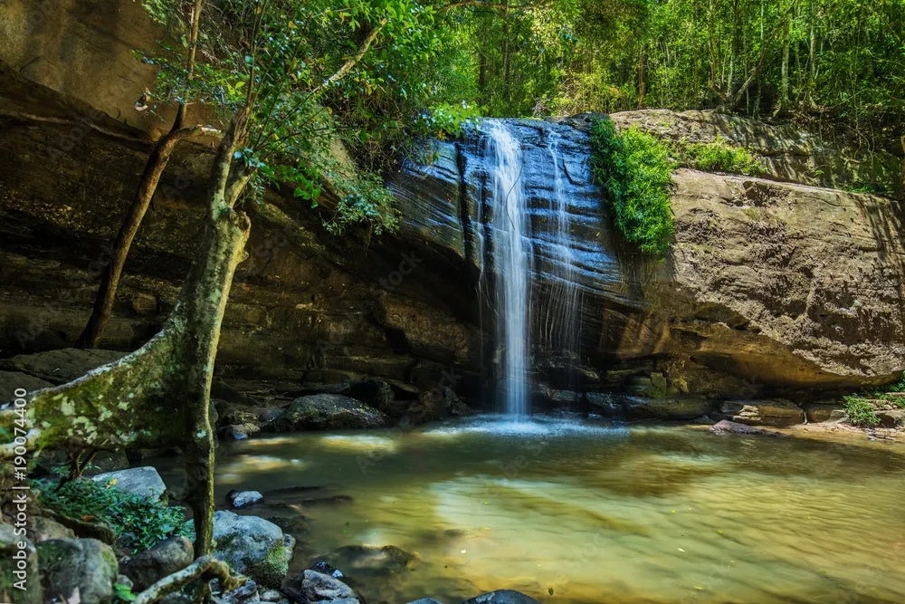
ln the heart of Buderim, this 45 hectare subtropical paradise of towering trees, cool streams, meandering tracks and waterfalls offers the perfect spot to relax on a hot summers day. There is an elevated wheelchair accessible boardwalk as well as a walking track to get closer to the waterfall.
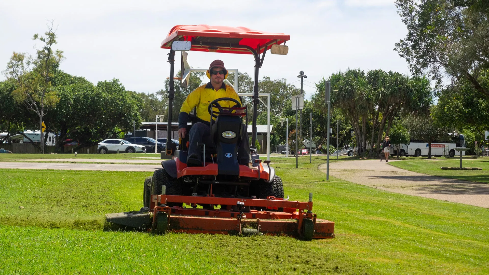
We take pride in the care, management and operation of the region’s public open space and recreational areas. These beautiful green spaces connect people and nature and promote healthy and creative lifestyles.
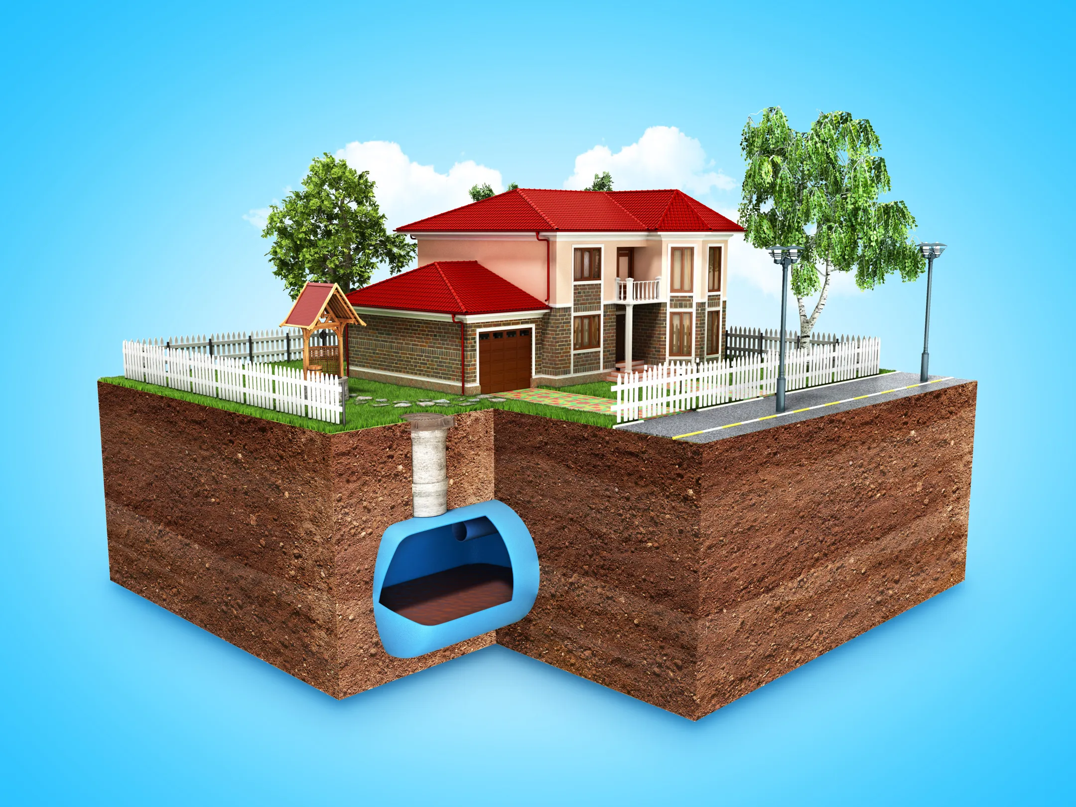
Information relating to types of household sewerage treatment systems and land application areas.
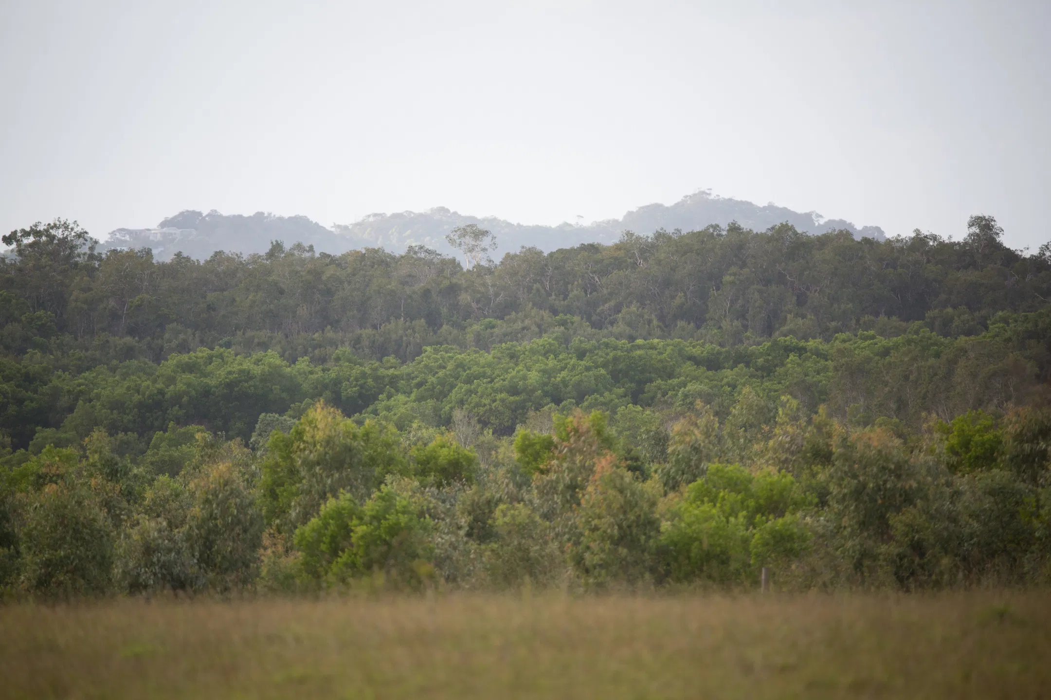
Learn more about our environment reserves and our plans to manage them.
The burn provides hazard reduction and ecological outcomes within the forest.