Local area maps

Local area mapping is located in schedule 2 mapping and part 7 local plans of the planning scheme.

The maps within schedule 2 and part 7 have been grouped by map tile. Refer to map SCC2 index map (PDF, 5466KB).

Refer to the relevant local plan map tile or rural map tile in the index image below to identify the schedule 2 and part 7 maps for that map tile.

Sunshine Coast Planning Scheme 2014 web index map

Sunshine Coast Planning Scheme 2014 web index map

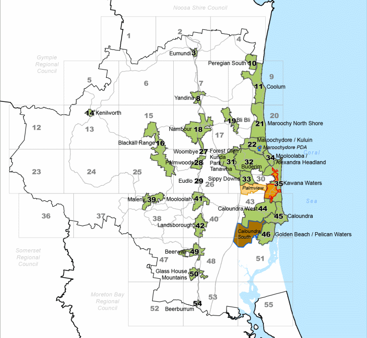
To select the applicable map view the complete lists of local plan map tiles or rural map tiles.

Please Note: Schedule 2 also contains the airport environs overlay maps that are not mapped in the tiling system.

Local plan map tiles

Local plan map tiles

View the local plan map tiles.

Rural map tiles

Rural map tiles

View the rural map tiles.

Airport environs overlay maps

Airport environs overlay maps

View the airport environs overlay maps.

Sunshine Coast Council acknowledges the Sunshine Coast Country, home of the Kabi Kabi peoples and the Jinibara peoples, the Traditional Custodians, whose lands and waters we all now share.
We commit to working in partnership with the Traditional Custodians and the broader First Nations (Aboriginal and Torres Strait Islander) community to support self-determination through economic and community development.
Site help & accessibility
Sign-up for our newsletter
Follow us
© Sunshine Coast Regional Council 2008 - 2023