Beaches and parks directory
The beaches and parks directory is a database of our popular destination open spaces/parks within our region.

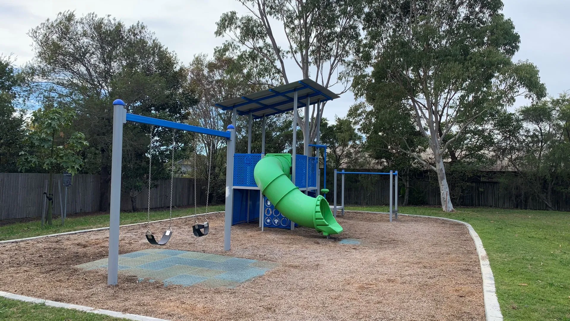
Cotton Tree Park, Maroochydore
The beaches and parks directory is a database of our popular destination open spaces/parks within our region.
The beaches and parks interactive map shows council-maintained facilities currently available in each open space area.
For more information about our beaches, visit the Sunshine Coast beaches page. You can also read the definition of park types to better understand how our open spaces are classified.

37/52nd Battalion Park
37/52nd Battalion Park provides a small playground with a large open space area for kick and throw activities. This park also provides natural shade.

Active Park
Active Park features a playground with climbing nets, swings and sand play. There's a large open space area for kick and throw activities and exercise equipment opposite the playground. It also includes picnic facilities, shelters and barbecues and a community garden on the Amber Drive side of the park.

Adolph Blanck Park
This fully fenced park on the corner of Duporth Avenue has a children's playground that caters for various age groups. There is plenty of natural shade provided as well as a large open grass area

Alan Walker Park
Coastal park at Point Cartwright Drive intersection between Beach Access points 205 and 206 has a playground, basketball half court and picnic facilities.
Albany Lakes Park
This park provides a playground, an 8 m tall play tower, exercise equipment node, barbecue and picnic facilities and great viewing access to the lakes
Alex Bluff Foreshore Park (Churinga Park)
This park is home to the HMAS Brisbane Memorial, the Korean War Memorial and the Australian War Dog Memorial. It stretches for 1 kilometre along the length of the headland and features multiple barbecue facilities with picnic shelters, lookouts, a playground an exercise equipment station (fitness station).

Alex Forest Conservation Area
This Conservation Area is a 6 hectare remnant wet schlerophryl and re-vegetated forest. It features walking trails. There is access from Tranquil Place, Woyin Street as well as Mari Street.

Alexandra Headland Beach
Beach Access points 154 - 168. Very popular beach patrolled year round and home of Alexandra Surf Life Saving Club with beautiful parks, restaurants, cafes and take away food outlets nearby.

Alicia Close Park
Alicia Close Park is a small playground with plenty of natural shade and a grassed area.

Anchorage Circuit Park
Anchorage Circuit Park is located so you can enjoy views of the canal. The park provides a connecting pedestrian pathway, shade, open space grass areas, picnic and barbecue facilities and a playground.

Anchorage Drive Park
The park has a playground, picnic and barbecue facilities, as well as public amenities. The park borders the Currimundi Creek North Arm Environment Reserve to the west.

Andrea Ahern Park
The park provides a small playground with some natural shade, long grassed areas for kick and throw activities and a picnic table to enjoy a bite to eat or sit and catch up with your friends
Andrew Street Park
Close to the beach, this location is ideal for Wedding Ceremonies. You can also enquire about holding events in this park.

Andriana Drive Park
A small local park with a shelter, playground and grassed areas for kick and throw activities. It also provides natural shade throughout the park
Anglia Place Park
This is a good size park, with a large grassed area for kick and throw activities, a playground, shelter, drinking fountain and some natural shade
Annalise Circuit Park
Annalise Circuit Park provides a variety of areas, from a flying fox, basketball half court to playground spaces. It has picnic facilities, shelters and barbecues as well as large open space areas for kick and throw activities. It also features a fenced dog park a short stroll from the playground.