How rare encounter is helping save marine wonders
A chance encounter on an evening walk is helping to save Sunshine Coast sea turtles.

Adriana Watson
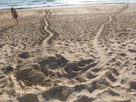
In November last year while on an evening walk, a young Wurtulla local and her dad came across a turtle making her way up the beach.
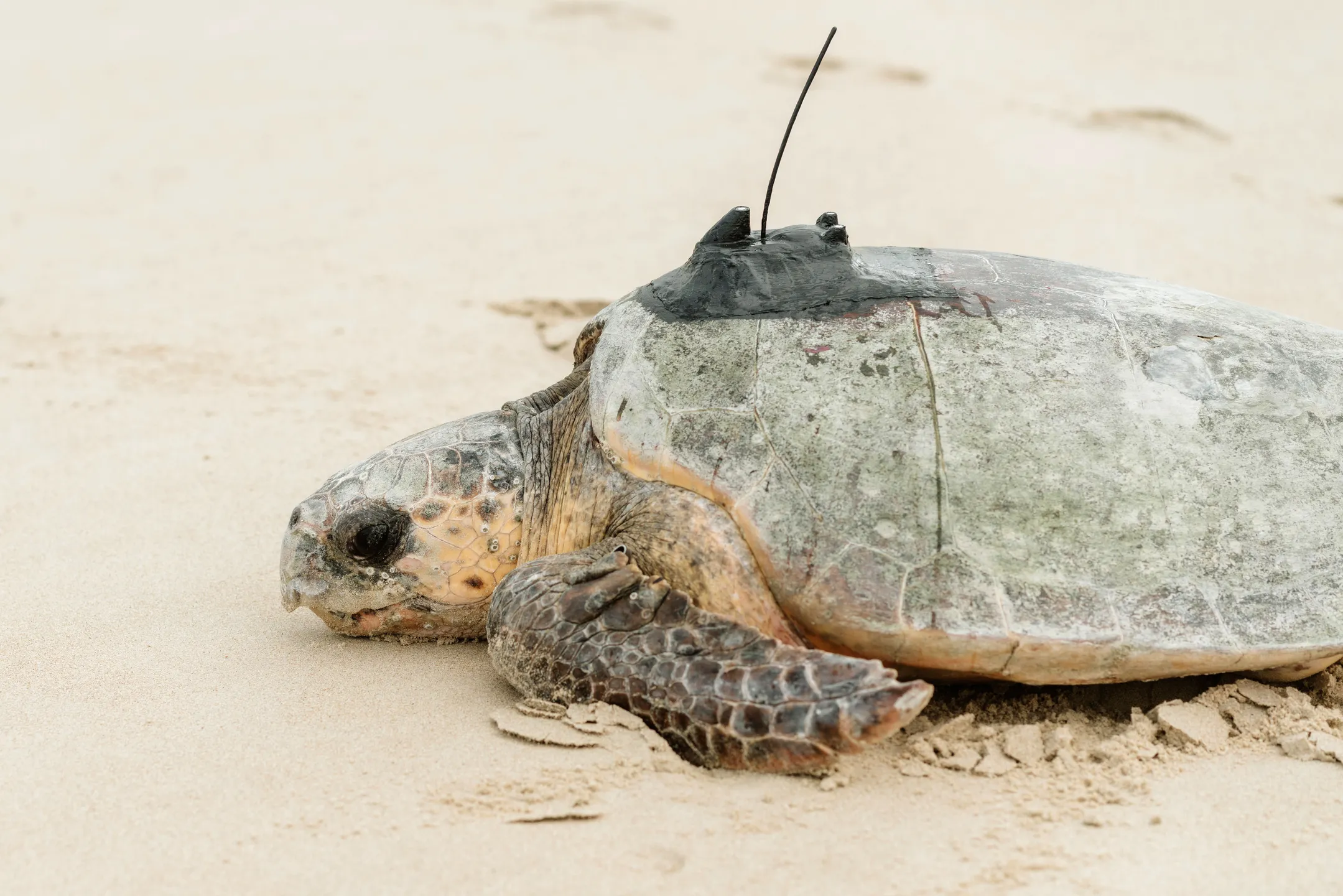
It turned out to be a critically endangered loggerhead turtle, who was about to lay her first nest of the season in the dunes.
It was then that TurtleCare Sunshine Coast volunteers were able to secure her for a very important job.
They fitted her with a GPS tracking device, as part of a joint research project with the Queensland Government, to provide valuable data on her movements to better understand – and protect – turtle habitats.
Meet Mib’ir – she’s a local here
The turtle was given the name Mib’ir (pronounced Meebeer) – a Kabi Kabi language word which means “saltwater turtle.”
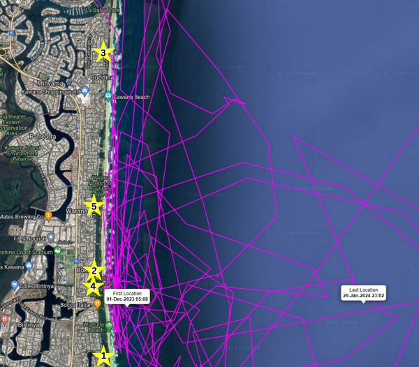
Mib’ir went on to lay four more clutches of eggs over the summer and in the process, provided valuable data about where turtles hang out off the coastline in between each nest.
Sunshine Coast Turtle Education Leader Leisa Baldwin said that while visiting our shore over the summer a nesting turtle can lay between three and five clutches of eggs before making their journey home.
“She won’t eat the whole time she is here – but will swim around, close to shore preparing to lay her next nest,” Ms Baldwin said.
“And thanks to the tracker secured to her shell, we know that Mib’ir loved to hang out at Currimundi Reef.
“It’s so fascinating to be able to track Mib’ir’s movements in real time and follow her on her journey home.
“As it turns out she is a Noosa local and is currently foraging on a reef off the coast of Teewah Beach on the southern end of the Great Sandy National Park.”
Why this data is so important
The tracking data is helping to discover how the turtles move around within the Blue Biosphere, which extends 5km to sea.
The data is used to create maps and give Council scientific evidence to be able to continue to plan and advocate for those habitats to be protected on land and in the ocean.

Meet Geminid – the second turtle to receive a tracker this season
Geminid, a second critically endangered loggerhead turtle, received a tracker on December 14, and was given her name for the meteorite shower, that took place at that time.
She has laid three clutches this season.
When Geminid finished laying for the season, she wasted no time beginning her journey north as she jetted up the east side of K'gari, passed through the Southern Great Barrier Reef including a quick stopover at the outer reef of Lady Musgrave Island and is now at Hyde Rock Reef, just north of Yepoon and south of Mackay.
Search “turtle conservation projects” at sunshinecoast.qld.gov.au to view the satellite map and follow the purple line to follow Mib’ir’s movements and the dark blue line for Geminid's location.
By implementing our threatened species management plans, such as the Sunshine Coast Marine Turtle Conservation Plan, we are protecting and enhancing our natural landscapes and its inhabitants and delivering on the Strategic Pathways of the Environment and Liveability Strategy.
HOW YOU CAN HELP
🐢Report turtle tracks, new nests and emerging hatchlings to our Turtle Care hotline or Coolum and North Shore Coast Care.
👀For sightings on the southern end of the coast call 0437 559 067 and for sightings from Maroochydore north call Coolum and North Shore Coast Care on 0478 435 377.
💡❌Switch off your outside lights from 8pm as light pollution is distracting for turtles and hatchlings
🗑️Make sure you take your rubbish with you from the beach so the turtles have a clean environment to lay their eggs in.
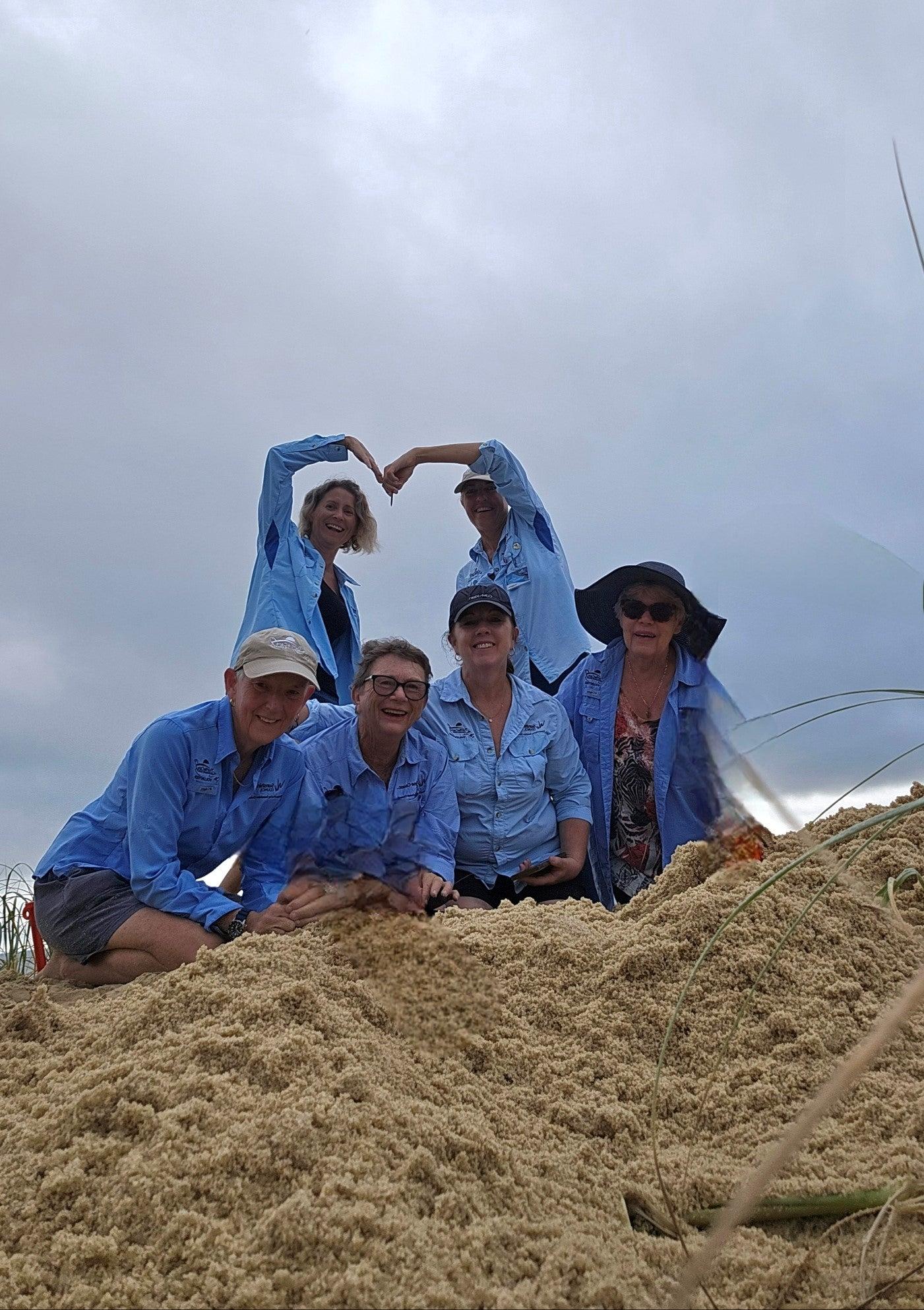
Our TurtleCare volunteers are highly trained citizen scientists who are making an incredible contribution to the ongoing survival of critically endangered turtles by monitoring nesting mothers, relocating nests if necessary for hatchling survival, and providing essential data to support this protection of these majestic animal.
All TurtleCare activities are conducted under Queensland Turtle Conservation Project permits.


