TurtleSAT App
It’s turtle nesting season for a lot of our freshwater turtles. This application is a useful tool for users to log sightings of freshwater turtles and turtle nests.
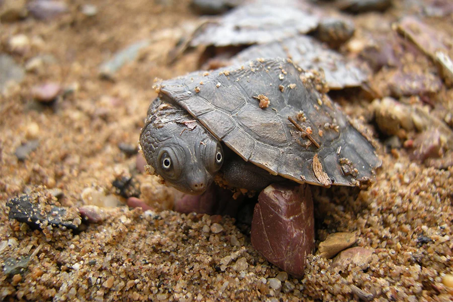
Article by Conservation Partnerships Officer, Sunshine Coast Council It’s turtle nesting season for a lot of our freshwater turtles. This application is a useful tool for users to log sightings of freshwater turtles and turtle nests that are encountered in your local reserve, waterways, property, roadsides and/or crossings. Sightings are easy to log and include photos, coordinates (or a pin location on the map), species type (if known) and your contact details (optional). The user can use the interactive map to filter live and dead sightings of turtle records on the heatmap, however the heatmap does lack specificity on locations of sightings and species sighted. The application is a useful way of capturing information and is relatively easy to log data, however it is not designed to assist users in species identification, and this could be a beneficial future add on to assist users in logging correct species identification and may take away the need for more back-end administration. Overall, the tool is useful for data collection which is its main purpose. The application is already used by local catchment groups including Mary River Combined Catchment Coordination Committee (MRCCC) to track threatened species such as the Mary River Turtle and the White-throated snapping turtle and this has broader conservation management applications. App. Stats Price: Free Operating System: iOS and Google Play Purpose: Surveying and analysis Further information: TurtleSAT > About this project |