BatMap - monitoring and actions
Follow up to date monitoring and management actions of all flying-fox roosts on council land.
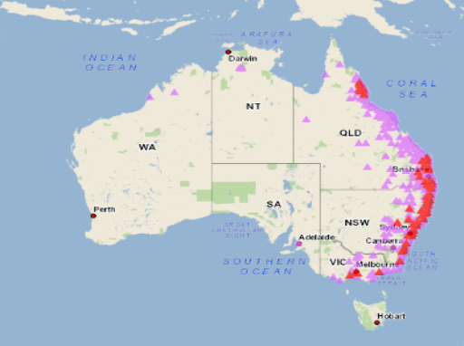
Flying-foxes are highly nomadic animals capable of travelling thousands of kilometres each year as they move between roosts across Australia. Flying-foxes move in search of suitable food sources, which means they occupy each of these sites seasonally, with many flying-foxes moving between different roosts daily.
Currently, there are more than 40 established and emerging, seasonal flying-fox roosts on the Sunshine Coast. Flying-foxes may occupy a roost for months or years. Managing flying-foxes is a key challenge facing the Sunshine Coast community, where flying-foxes are wild, native animals that will always be a part of the Sunshine Coast environment and are crucial to support the health of our local ecosystems.
Council routinely monitor flying-fox roosts to identify flying-fox movements across the Sunshine Coast and advise management actions. The data is publicly viewable on the BatMap below.
BatMap
This map shows the current flying-fox population numbers across all the current roosts. The size of the yellow circle represents the number of flying-foxes in the roost. The data on this map shows the footprints over the last eight weeks and current management actions.
Move around the map and zoom in to see individual sites. The yellow footprint is the most recent footprint. Click on the footprints to see the data.
Historical and management actions dashboard
This map shows the historic flying-fox counts and the management actions taken for all the roosts. As you move around the map, the count data and management actions will automatically update for the sites in the main screen.
The shaded area on the roost shows the maximum footprint of the roost. Click on the shaded area to show all the previous footprints. Click the arrow to go between footprints.
